Pars Philosoph (LLC.) registered under registration ID 75442 and National ID 14012707644 is operating to provide cutting edge geospatial solutions, such is geographic information systems and remote sensing. Its aim is to provide engineers, entrepreneurs, managers, and others the tools for better decision making and lower costs.
Please state your contact information and the services you are interested in, and we will call you back. For direct contact you can call us using the numbers below: +98-913-211-8305 +98-913-324-5945 +98-913-129-4821
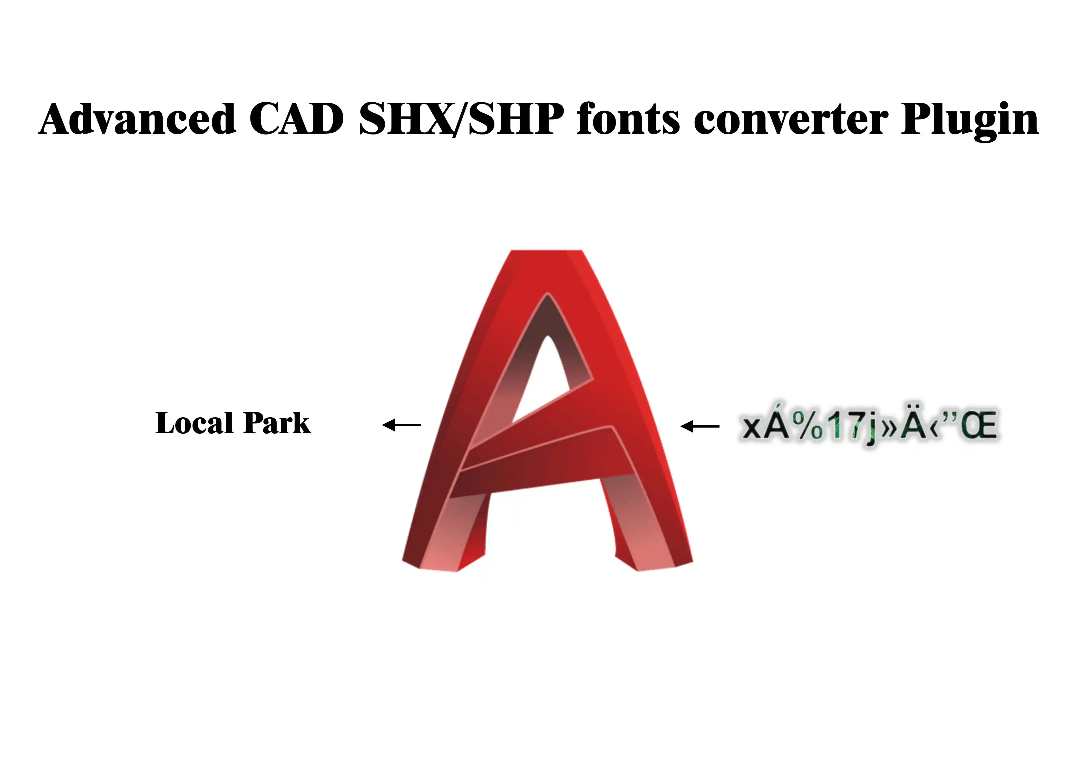
As shown in the video above, this software can convert all texts written with various Kateb fonts, common Persianizers, and other cursive fonts as well as other shape fonts (SHX) into standard text (Unicode) with just a single click.
1- Unlike other AutoCAD plugins, this software will be supported in future versions of AutoDesk products, such as AutoCAD.
2- Free support is provided with this software.
3- You can transfer the resulting texts to various Geographic Information Systems (GIS), Google SketchUp, Revit, and other software.
4- Installable on all AutoDesk products.
5- Save time with a cost-effective solution.
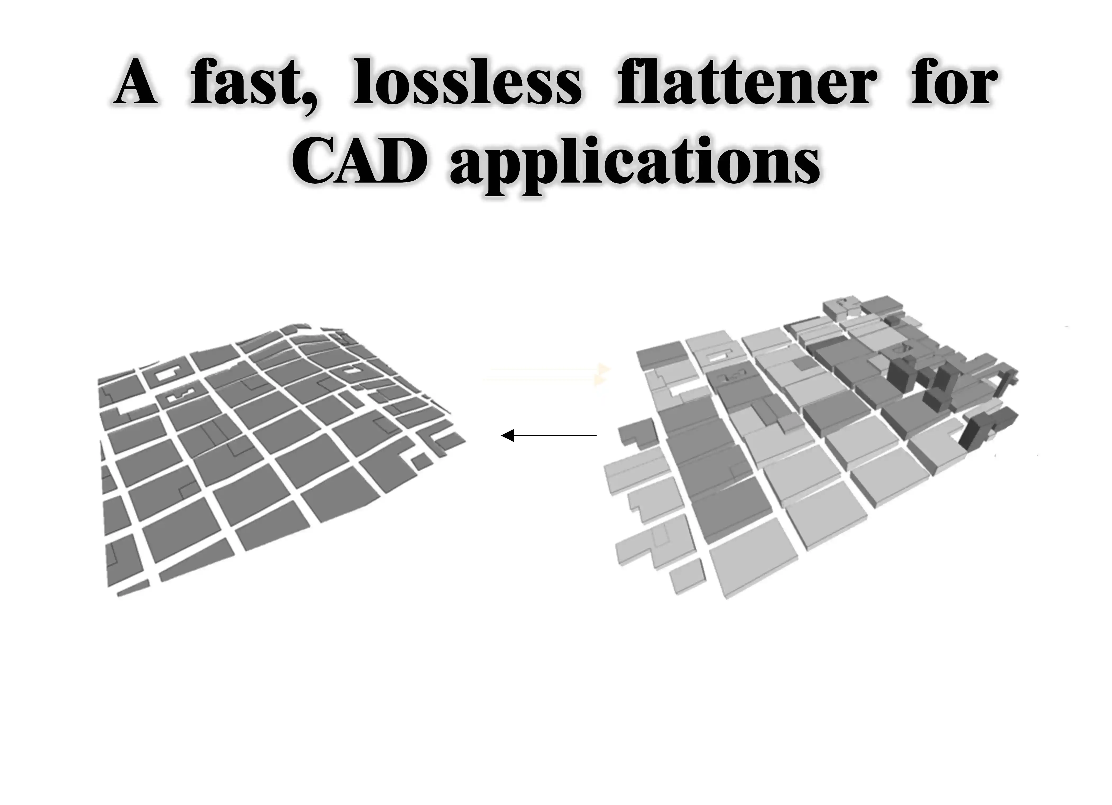
3D Drawing Flattener for AutoDesk Products
CAD drawings with large file sizes that have been drafted in a non-planar manner cannot be flattened using existing tools. For example, the Flatten tool in AutoCAD or Civil 3D cannot be used, as these files demand extremely high processing power and cause your computer to freeze. This plugin, which runs on all AutoDesk CAD software, flattens even the most complex drawings within seconds.
1- Unlike other AutoCAD plugins, this software will be supported in future versions of AutoDesk products, such as AutoCAD, Civil 3D, and Map 3D
2- Free support is provided with this software
3- Installable on all AutoDesk products
4- Save time with a cost-effective solution
Pars Philosopher's Professional Track Record
This company began its journey grounded in a philosophy of freedom and efficiency, (to provide people with more freedom in their routine activities and make their processes cheaper but faster) and is the result of the union of individuals who all possess decades of experience and a distinguished track record in both managerial and technical roles across fields including: comprehensive and detailed urban plans, regional spatial planning schemes, rural guide plans, land preparation plans, watershed management plans and earth dams, hydrological studies, land subsidence and geomorphological change studies, smart city plans and advanced geospatial systems, and more. To view Pars Philosopher's professional track record, please click on this link.
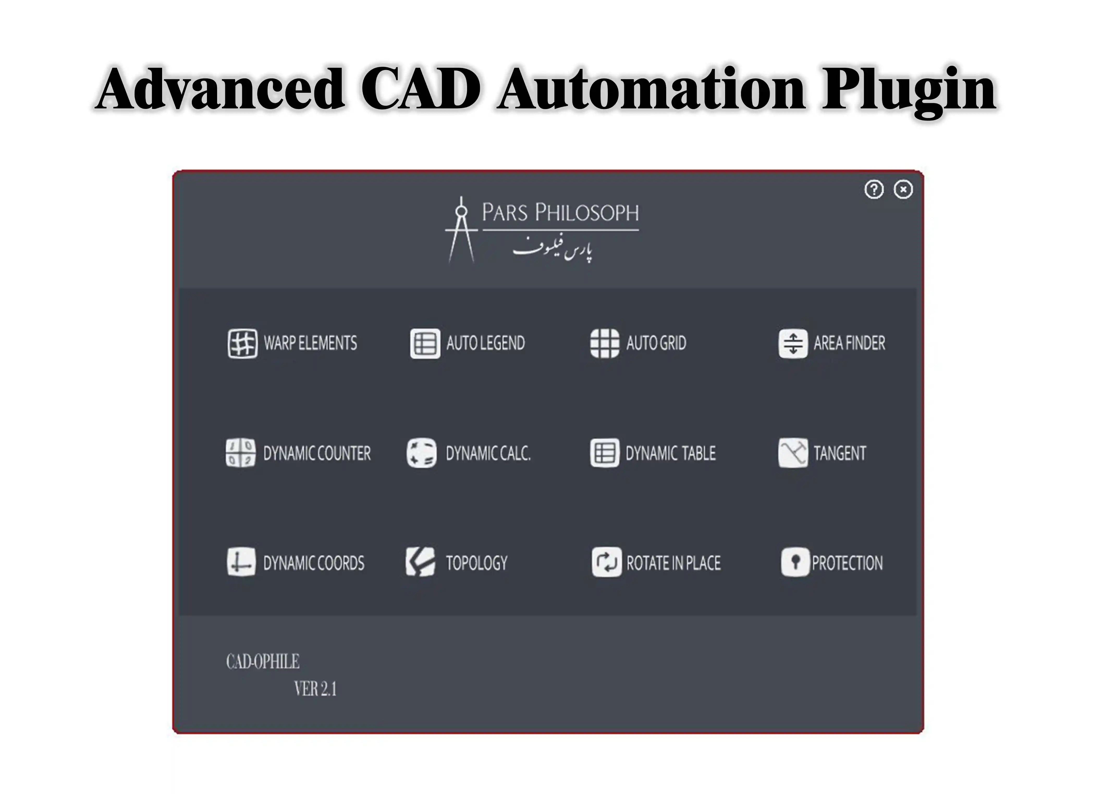
Pars Philosopher's CADAssist in AutoCAD
CADAssist offers a suite of essential tools for engineers that do not exist in any currently available software, capable of performing operations that would otherwise take hours or even days in the blink of an eye. For example, one of the popular tools in this software can subdivide lands of any size and shape in a fraction of a second, with dimensions, angles, and sizes specified by the user—and can even further subdivide the already subdivided parcels. Or the Gap Finder tool can rapidly identify drafting errors and prevent major issues in later stages of the project (such as GIS or 3D modeling). This software is an essential asset for every engineer.
This software:
1- Unlike most Lisp plugins, which are increasingly losing support from AutoDesk, delivers permanent, reliable functionality.
2- Comes with completely free support.
3- Is very affordably priced.
4- Has no substitute or alternative.
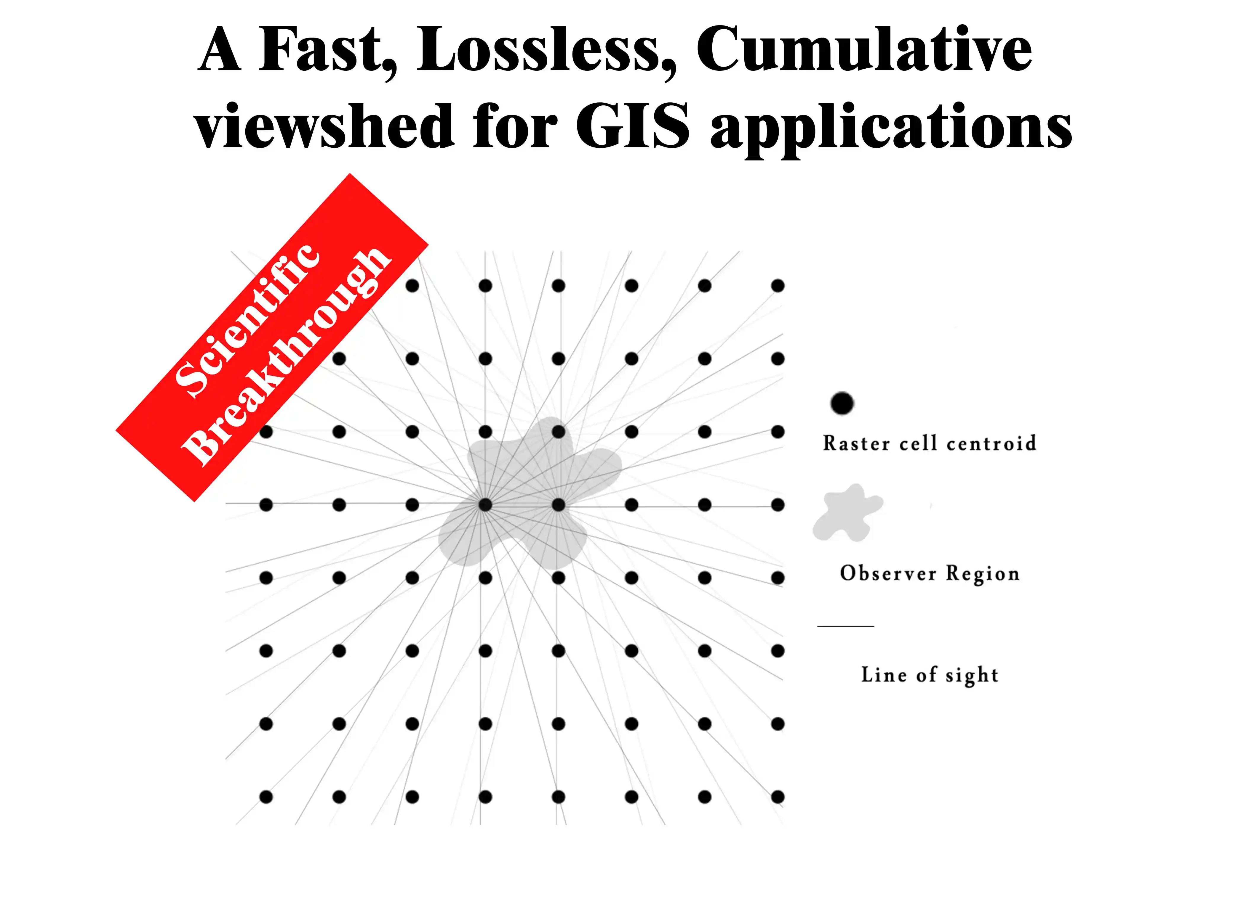
Pars Philosopher's Cumulative Viewshed Algorithm
How can we answer this question: if we want to display all areas visible from a zone (such as a city) on a map, how would we do it? Pars Philosopher's cumulative viewshed algorithm answered this question for the first time in the world. If we want to calculate the visibility of every point across a zone, since there are infinitely many points within a zone, a hypothetical grid (like a chessboard) must be used to reduce the number of points. In that case, for each square of the chessboard, the visibility must be calculated for the center point of that square—reducing accuracy and slowing down the process. With Pars Philosopher's cumulative viewshed algorithm, you can accomplish this in a fraction of a second with remarkable precision. This algorithm was published as the first international achievement in this field in the scientific journal GeoCarto International. (For more information, click on the colored text.)
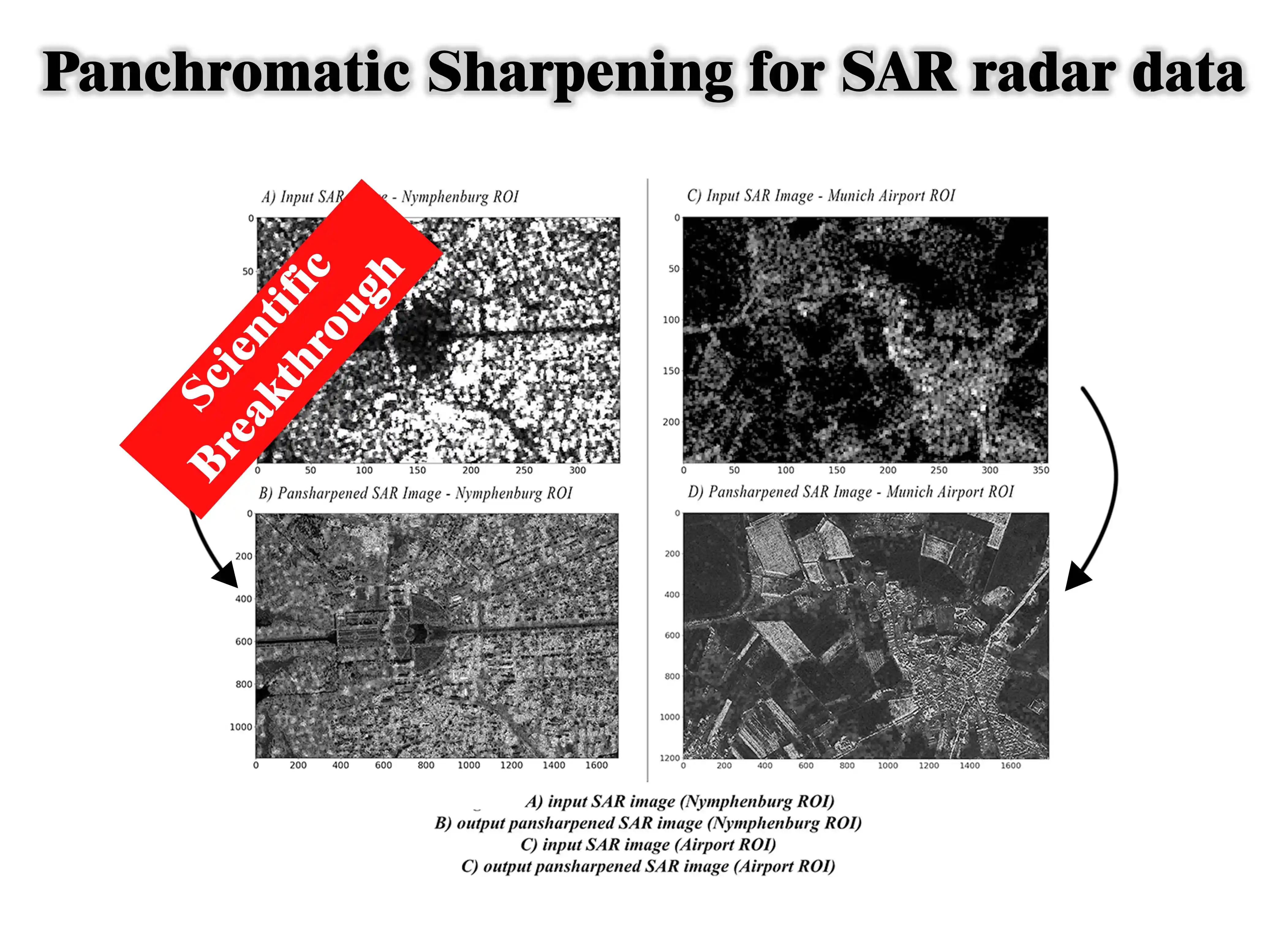
Pars Philosopher's True Resolution Enhancement Algorithm for Satellite and Radar Imagery
To enhance the resolution of SAR satellite imagery—capable of observing the Earth day and night and in all weather conditions—better hardware equipment must typically be built and launched into space. This process is extremely costly. Pars Philosopher's spatial resolution enhancement algorithm accomplishes this for the first time in the world through software, without exorbitant expenses and in a negligible amount of time, increasing the spatial resolution of SAR satellite images by several times. This software has been published as an international achievement in the scientific journal IJRS (International Journal of Remote Sensing). This achievement was applied in conducting highly precise radar studies of land subsidence and its relationship with groundwater in the Isfahan-Borkhar Plain. These studies were also published in the world's most prestigious remote sensing journal, Remote Sensing. For more information, watch the video below:
Pars Philosopher's Spatial Relationship Explorer in GIS
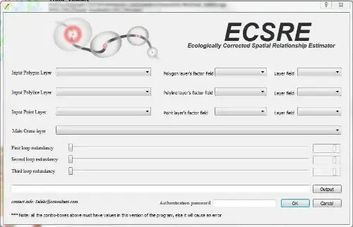
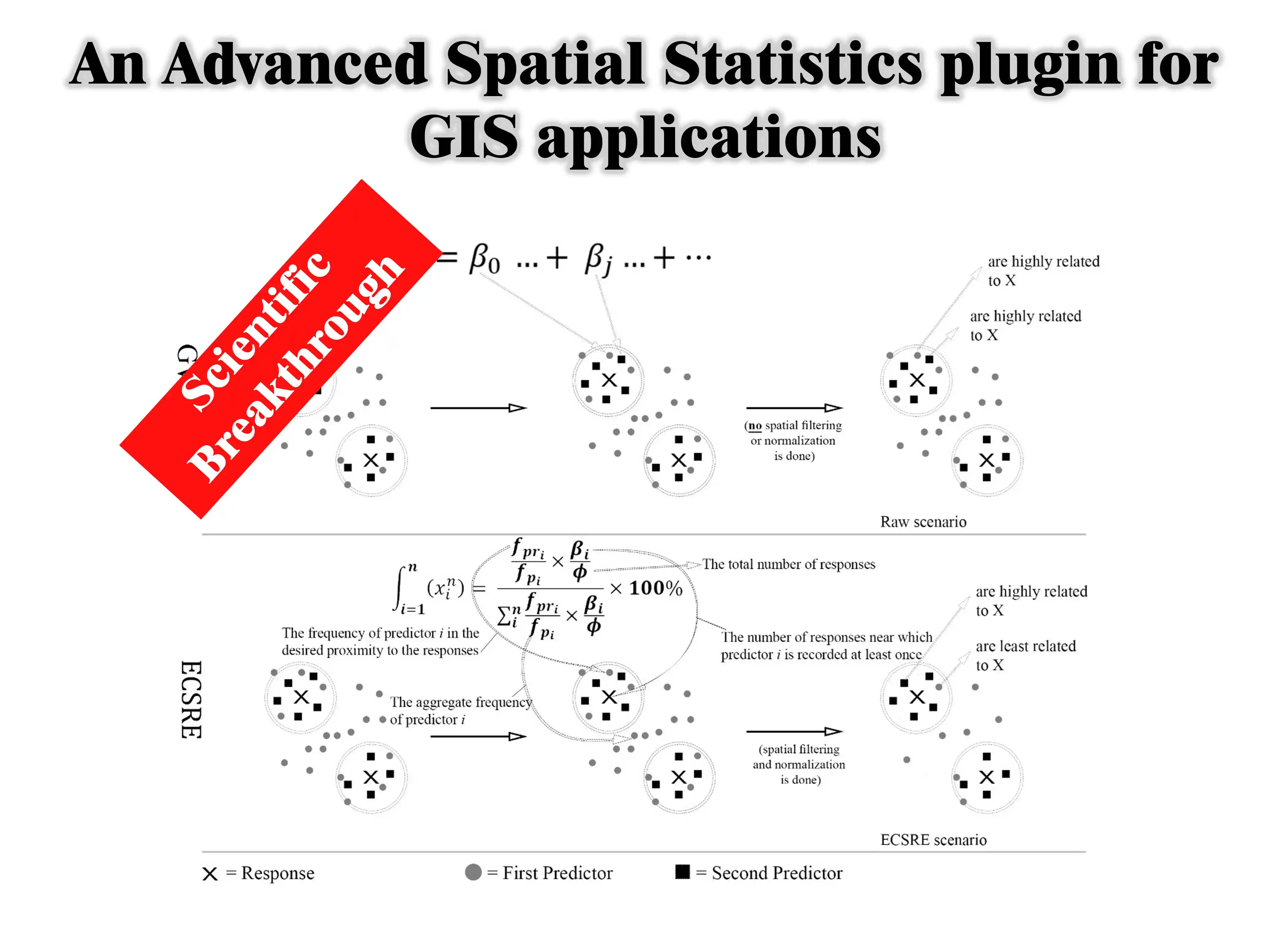
In nearly all spatial studies, spatial relationship analysis (such as Geographically Weighted Regression or GWR) is generally conducted using tools that, under the influence of numerous factors, produce errors in determining relationships. For example, if a researcher attempts to measure the relationship between the number of trees and people's happiness in a city where both the number of trees is high and people are generally happy, the result will most likely indicate a strong relationship between tree count and happiness—whereas, in reality, these two factors may have little influence on one another. Pars Philosopher's Spatial Explorer solves this major problem by taking dispersion and clustering indices into account, making it an ideal solution for virtually all spatial studies.
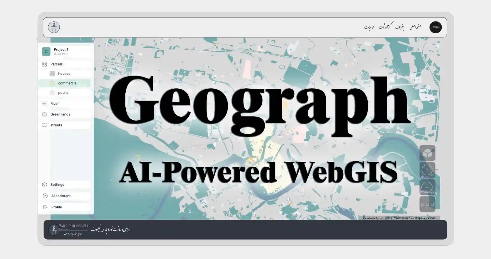
Geograph: The Most Comprehensive Intelligent Geospatial System
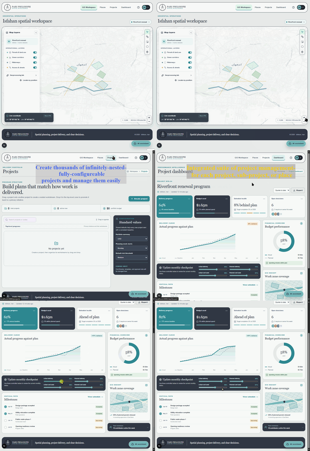
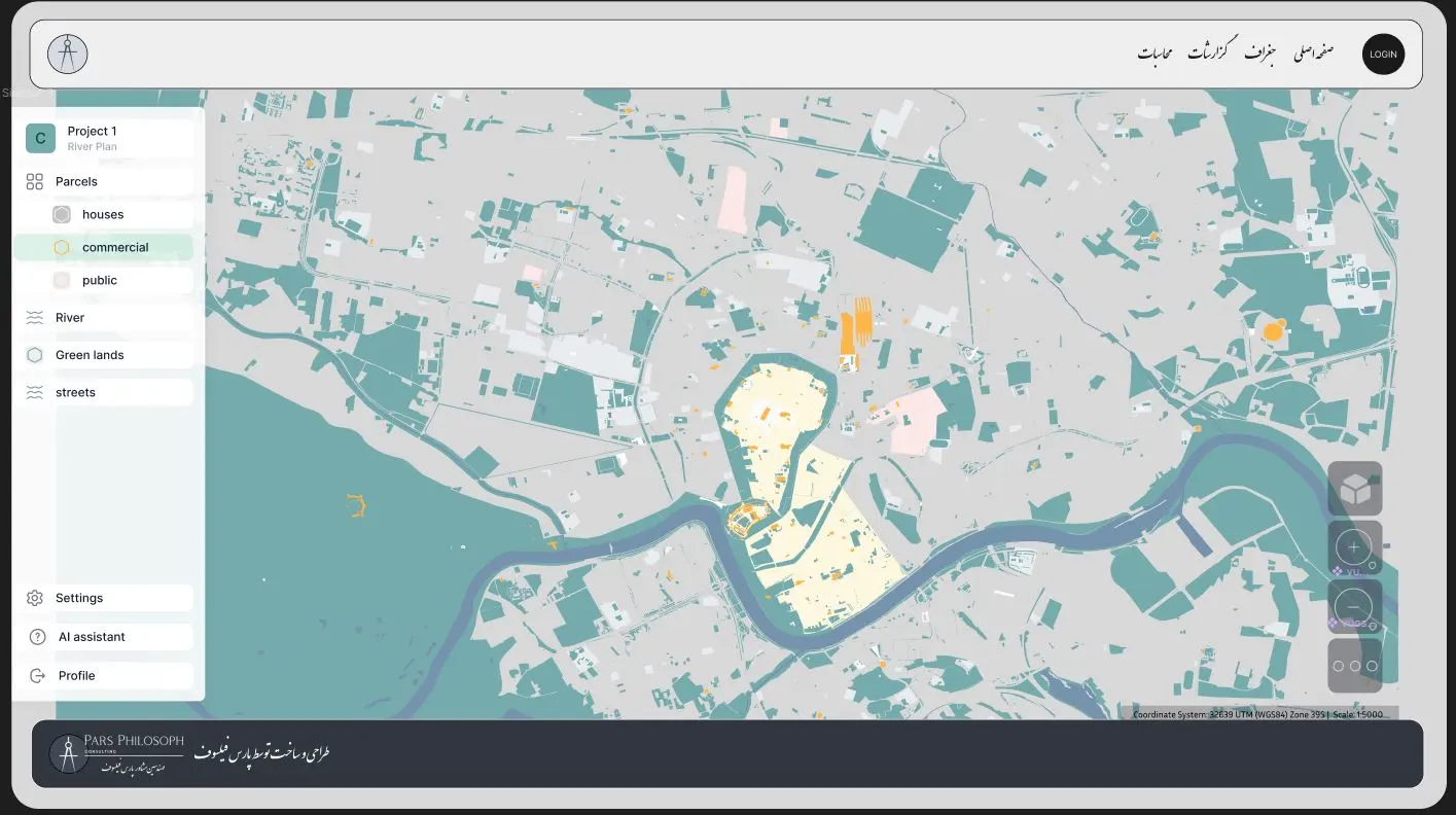
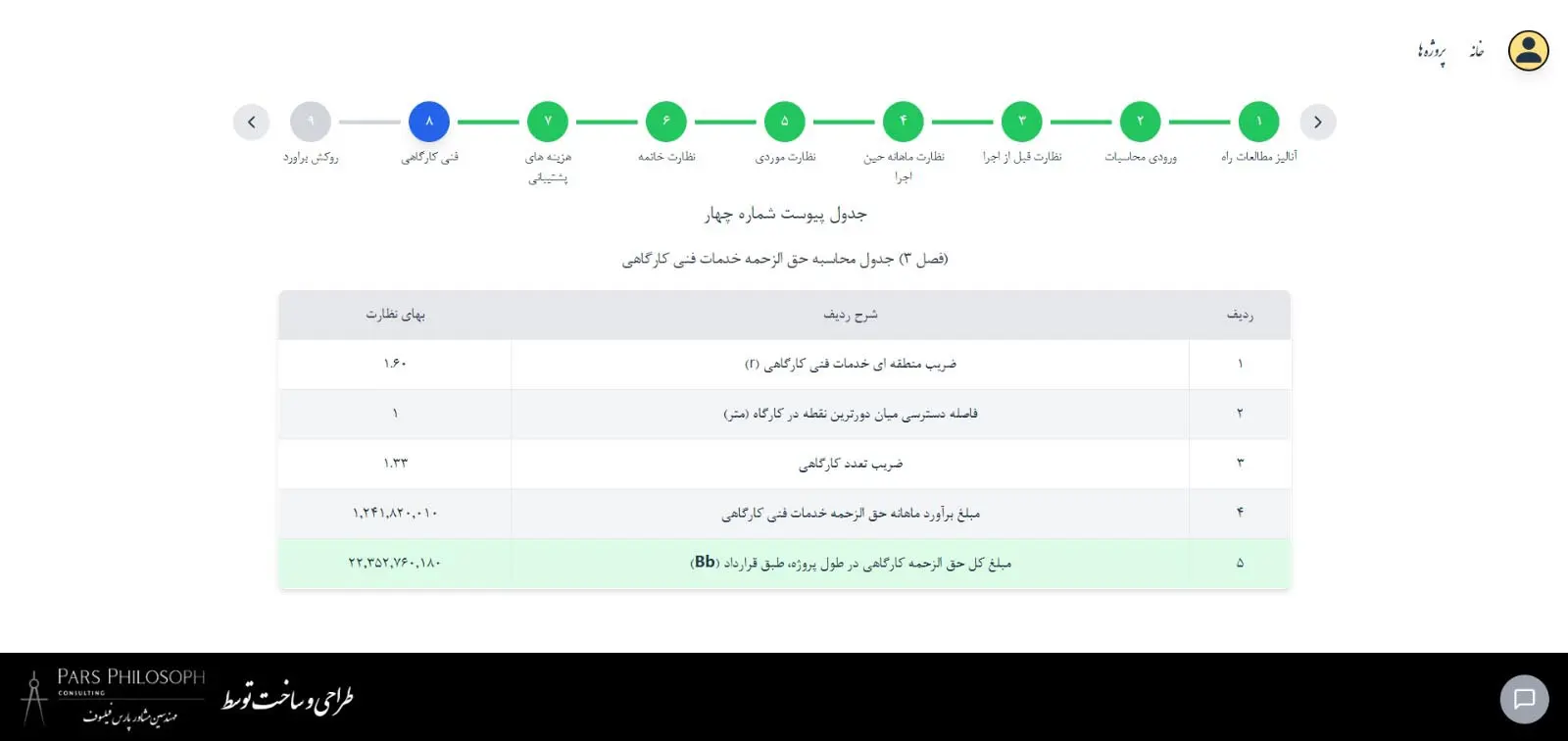
Geograph integrates geographic information capabilities, artificial intelligence, and intelligent project-based construction management, creating a transformation in spatial decision-making for all collaborating stakeholders within a project. Unlike conventional GIS tools, Geograph delivers comprehensive insights across the entire project lifecycle—from site analysis to financial justification—empowering clients to identify the most optimal investments, mitigate risks, and accelerate return on investment. Partner with us to turn spatial data into actionable financial intelligence. To read the product catalog, click here.
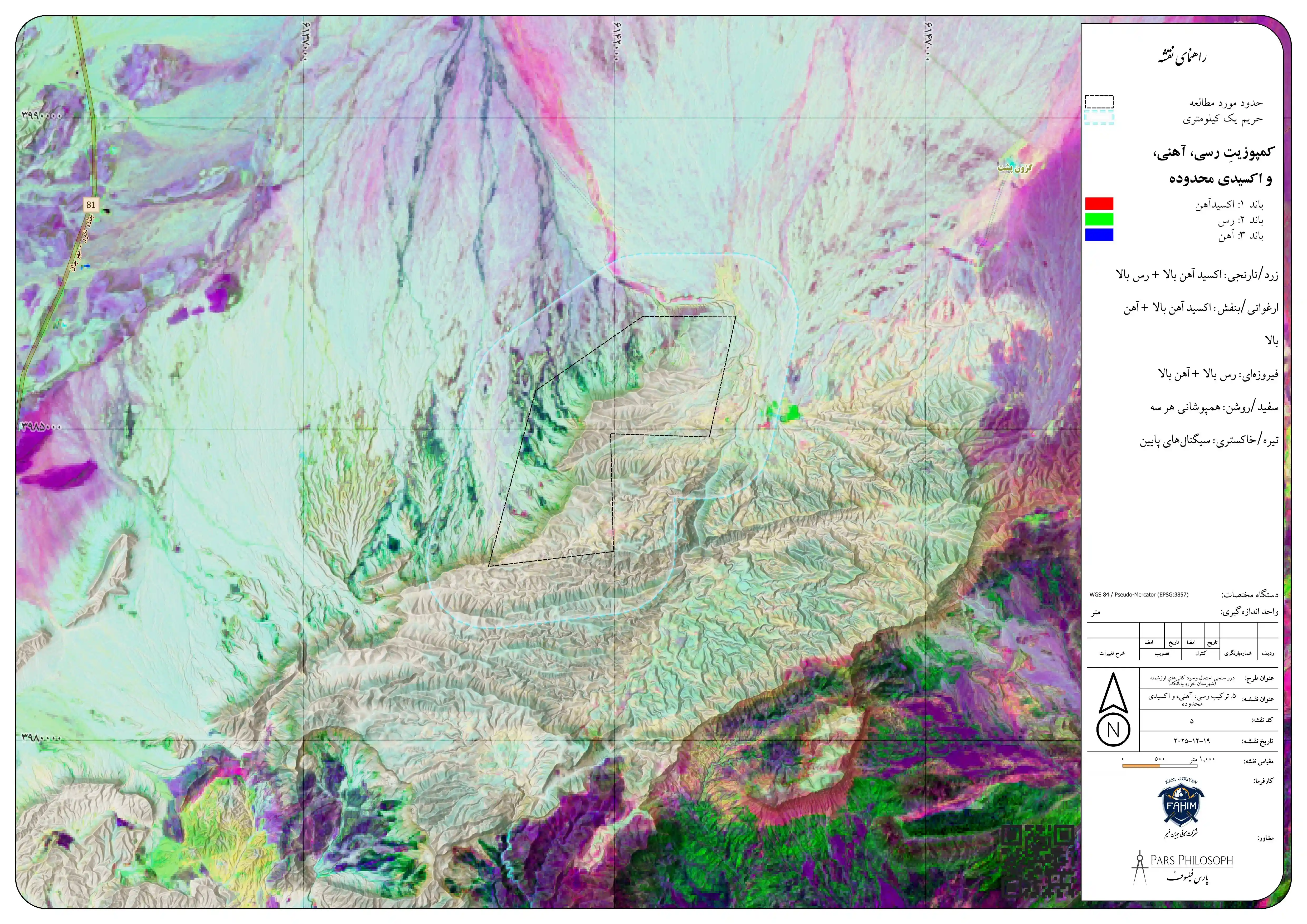
For the first time, you can simultaneously leverage imagery and data from all available satellites, using AI in an automated pipeline to discover all valuable elements and minerals on Earth—without any cost and without needing to be physically present at the site—and then analyze the best method for their extraction. As a result, you can achieve your mineral extraction goals at minimal expense. Pars Philosopher will carry out all these steps for you. To view a sample project, click here.